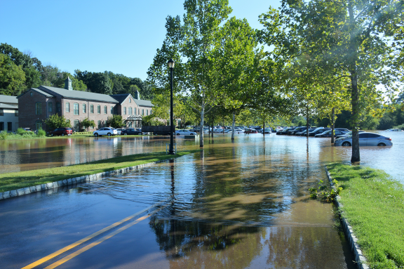
Federal program is finally incorporating climate change into precipitation frequency estimates, giving developers and engineers access to more accurate projections

In early September 2021, the remnants of Hurricane Ida swept through Southeastern Pennsylvania, destroying hundreds of homes, resulting in more than a hundred million dollars in economic damages and killing five people. Much of the pain was felt within the Schuyl-kill River watershed, where Ida left homes and businesses flooded from Schwenksville to Norristown to Philadelphia. Analysis by the Philadelphia Water Department (PWD) later determined that, based on 20th century rainfall data, the river’s flooding under Ida was the kind of event you’d expect to see once every 65 years or so — once in a lifetime.
But this is not your grandfather’s Southeastern Pennsylvania. As climate change has intensified, the region has experienced more extreme precipitation. Recent analysis by PWD of rainfall data from the past two decades shows that Ida-level flooding along the Schuylkill is now more like a once-every-30-year event. Read more.
Photo by Michael Stokes via Flickr